
Chula Vista ZIP Code Coverage
Five ordinary ZIP codes serve the main Chula Vista postal geography, but the ZIP code directory is a routing guide rather than a city census. The older northwest and central core uses one pattern, while Otay Ranch, EastLake, Rolling Hills Ranch, and other eastern planned communities use newer codes. Verify a full address because neighborhood names, planning areas, and postal stations do not always share a boundary.
| ZIP Code | Practical Areas | Post Office or Station | Notes |
|---|---|---|---|
| 91910 | Older northwest and central areas, Civic Center, Terra Nova | Main Post Office, 750 Third Avenue | Central civic and library core |
| 91911 | Southwest and south-central areas | Rancho Del Rey Station, 340 Oxford Street | USPS groups discontinued 91909 with 91911 |
| 91913 | Otay Ranch core | Verify station through USPS | Eastern planned-community development |
| 91914 | Rolling Hills Ranch and eastern EastLake edges | Verify station through USPS | Processing grouping changed in 2008 |
| 91915 | Far-east EastLake and Otay Ranch | Verify station through USPS | Newer permit and parcel history |
Note: A ZIP narrows postal routing, not the set of residents; use the complete address and parcel identifier before making a person-level connection.
Discontinued or nonordinary codes add confusion. USPS groups 91912 with 91910 and 91921 with 91913 through 91915 in its scheme. A 2008 Postal Bulletin changed processing for 91913 through 91915 and 91921 effective December 4, 2008, with a grace period into 2009. That was a processing realignment, not proof that the city boundary moved.
Finding Chula Vista Residents by ZIP
A ZIP code can narrow a known-address search, but no San Diego County office offers a public all-residents-by-ZIP directory. The assessor searches by APN, address, or street name, not ZIP-wide. CVMapper displays ZIP on parcel polygons and can be queried spatially, but it has no owner field. Accela accepts ZIP in its address form for permit research. The voter self-lookup asks for ZIP as an identity detail and returns one matching voter, not a ZIP list.
- Run the USPS full-address lookup to confirm deliverability, postal city, ZIP, and ZIP+4.
- Use CVMapper to match the address to a Chula Vista parcel, APN, ZIP, and planning geography.
- Search Accela by the known address, parcel, or permit number, using ZIP only as a narrowing field.
- Use the voter self-lookup only for the person who can supply residence and birth-date details.
- Once a ZIP narrows to a street, use the Chula Vista street directory workflow for the APN and address chain.
Do not claim an official population or resident count from a postal code. Census ZCTAs are statistical approximations and are not the same as USPS ZIP delivery areas. A compiled result that promises every person in a 919xx code is not a government roll.
Post-office details deserve their own label. The Main Post Office and Main S&DC share 750 Third Avenue but use different operational ZIP+4 designations, 91910-9998 and 91910-9900. Rancho Del Rey Station at 340 Oxford Street uses 91911-9998. A PO-box address can explain a mailing record without locating a Chula Vista parcel or household.
| Portal | ZIP behavior | What the result means |
|---|---|---|
| USPS Lookup | Full address and ZIP+4 verification | Delivery and postal format |
| CVMapper | ZIP attribute on a parcel polygon | Parcel geography, not owner |
| Accela | ZIP field in known-address permit search | Permit record narrowing |
| Voter self-lookup | ZIP required with residence and birth date | One person's registration match |
Note: USPS can validate delivery while CVMapper validates parcel geography; keep those two answers in separate columns in a research log.
USPS Verifies Chula Vista Addresses
The final postal check belongs to USPS, not a geocoder. Enter the complete address, including unit when present, and save the returned preferred city, ZIP, and ZIP+4. Keep a failed or changed result with the date because new subdivisions, unit conversions, and address assignments can reach USPS, city permits, GIS, and county systems at different times.
The USPS ZIP Code Lookup is the authoritative starting point for a deliverable address and its ZIP+4.
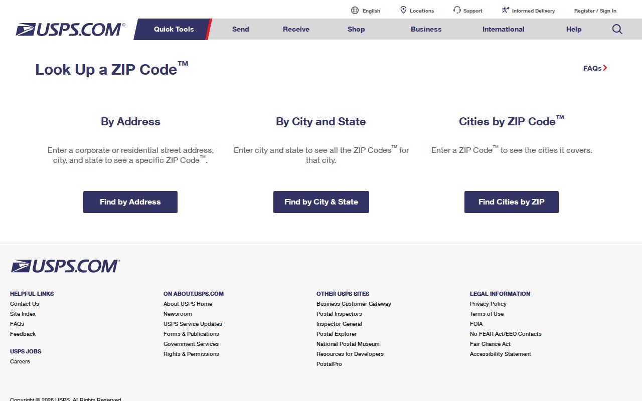
A USPS result still does not identify a resident. It can confirm that a route uses Chula Vista as its preferred postal city, while the assessor and recorded map identify the land. A PO box may use a ZIP that has no relationship to a home parcel. Keep postal, mailing, and situs fields in separate notes.
The 2008 ZIP Processing Shift
Chula Vista's eastern ZIP story includes a postal-processing change rather than a simple neighborhood line. A 2008 Postal Bulletin moved processing for 91913 through 91915 and 91921 from a 91915 scheme to 91914, effective December 4, 2008, with a grace period into February 2009. The change explains why an old mailing, directory page, or permit may use a different postal grouping from a later source.
When comparing records, do not rewrite an old ZIP to the current one without preserving the original. Search the historic address, subdivision, street, and APN. Then use USPS for the current delivery result and GIS or a recorded map for the land relationship. A postal reorganization is not evidence that Chula Vista annexed or detached a parcel.
West and East Chula Vista Records
ZIP geography also predicts which records are likely to be deep. Older west-side and central areas developed around orchards, rail and streetcar routes, the bay-side economy, and the Third Avenue civic spine. They are more likely to appear in early directories, Sanborn maps, newspapers, and the 1910 through 1950 census schedules. Newer EastLake and Otay Ranch areas have richer recent parcel, permit, planning, and subdivision records but thinner historical directory coverage.
Use this as a search choice, not a population claim. The 2020 Census counted 275,487 Chula Vista residents, which makes a single name hit weak evidence anywhere in the city. A ZIP can help sort a known record, but the APN, date, and source type still do the identity work.
Match ZIPs to Chula Vista APNs
A ZIP-aware research chain has four parts: USPS delivery, city parcel geography, county land identity, and the public office for the record sought. City address assignment can be relayed to utilities, USPS, school districts, the assessor, Sheriff, and city departments, but synchronization takes time. An accessory unit or multiunit conversion can also create a unit label that does not match one-to-one with a parcel or owner.
Capture the ZIP shown by CVMapper, the punctuated APN used by the assessor, the legal description or recorded map reference, and the council or planning area. Then ask the relevant custodian for the permit, deed, tax, or public record. This keeps the ZIP code directory from turning a routing code into a claim about a person.
Memory Collections Across ZIPs
Postal geography can help a local-history search choose a branch, but community memory is organized by people, projects, and collections rather than ZIP alone. Chula Vista's IMLS-supported Memory Lab helps residents digitize photographs, audio, video, and family papers. Those materials may describe an older west-side street, an eastern planned community, or a migration story that never appears in a standard directory.
The Memory Lab grant description explains the local archive project and its training and preservation purpose.

Check donor rights and public access before relying on a contributed item. Use its caption, date, place, and independent directory or record link. A ZIP is a useful filter for a known address; it is not the organizing principle for every Chula Vista history collection.
ZIP Codes Versus Chula Vista Limits
ZIP boundaries are carrier-routing areas, not polygons drawn to match incorporated city limits. USPS may accept Chula Vista as the preferred postal city for an address whose planning, school, water, council, or census geography differs. Nearby Bonita 91902 and Otay Mesa or San Diego 92154 show why a South Bay label or station name does not establish Chula Vista residency. Conversely, a parcel inside the city can use a postal route that sounds like another community.
Separate the postal result from the land result. USPS decides delivery format. CVMapper shows the city parcel and ZIP attributes. A council address lookup helps with municipal representation. The assessor APN identifies county land. A deed's legal description identifies the recorded parcel even if the postal address later changes.
- ZIP code
- A USPS delivery area used to route mail; it is not a complete population boundary.
- ZIP+4
- The extra four digits that refine a delivery point or route within a ZIP.
- PO-box ZIP
- A postal code associated with box service, which cannot locate a parcel situs.
- Unique ZIP
- A code assigned to a specific organization or large facility rather than a broad neighborhood.
- Carrier route
- A delivery sequence within a postal area, not a resident roll.
Postal evidence should also be kept apart from public-service geography. Sweetwater Authority and Otay Water District cover service areas that cross neighborhood ideas. Chula Vista Elementary and Sweetwater Union High School districts can help confirm an address's public institution, but student information is protected. A council-district or planning lookup can establish municipal representation without producing a resident list.
For a new subdivision or accessory unit, compare the city's issued address, the USPS result, the parcel's CVMapper ZIP, and the county APN. If one system is ahead of another, date the difference rather than forcing all records to agree. That small habit preserves the meaning of the Chula Vista ZIP code directory across postal changes, parcel splits, and later record searches.
Note: A postal city is a delivery label, while a legal city is a jurisdiction; the two should be checked separately. Confirm the source before using a ZIP as a search filter.